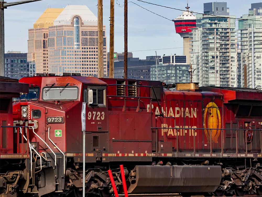
Green Line LRT | ?m | ?s | Calgary Transit

Go Elevated or try for Underground?

  • Work with the province and go with the Elevated option

    Votes: 8 72.7%
  • Try another approach and go for Underground option

    Votes: 2 18.2%
  • Cancel it altogether

    Votes: 1 9.1%

  • Total voters
    11
Alright, hate to derail all the bot love but here's a couple of rough pics of what I had in mind.

View attachment 599820

East portion is the purple brt upgraded to lrt with possible extension further east. It would interline with GL for Inglewood and 4st se stations.

View attachment 599821

This would be the tunneled portion in city center, using the util cleared 11av row then going south on 4st sw to 17av and exiting at crowchild. A little under 5km long and being further from the river, so should be doable as c&c.

View attachment 599823

Once its out in crowchild, the line goes elevated down the median, then veers off into MRU territory and on to grey eagle.

I realize this probably belongs in fantasyland given how GL has gone and how long it's likely to take to complete, but I think this would be a decent candidate for line 4 in Calgary, linking up a lot developing and higher density areas.

Roast my idea as you see fit :)
Missing a destination (downtown) and transfer by a few blocks would be a waste IMO
 
The biggest disadvantage of that alignment is that it doesn't have a direct transfer station with either the red or blue lines. Though you could always walk a few blocks from the beltline.
Based on plans from the city, if a line like this is ever built, it would probably leave Crowchild and take Quesnay Woods Dr to go through the core of Currie.
I think it would also be neat if the line could go up 14 St and use 33 Ave to get to the core of Marda Loop. Not sure if that's politically or financially viable though.
Agree on the lack of direct red/blue transfers, not sure how to resolve that, but it's something I'll continue to ponder.

I chose Crowchild for an elevated row to balance access to the neighborhoods, a stop near 33av still provides access to marda loop, but also the areas west. I'm not sure using 14st with Mount Royal on one side is as beneficial, or feasible.

Within Currie, I think the road you're referring to was part of the Westbrook streetcar stub that was pitched at some time?
In short, I'm not a fan of streetcars when they cost skytrain money, and in the Westbrook/MRU case similar service could probably be achieved just as effectively with electric buses for a fraction of the cost.
 
Missing a destination (downtown) and transfer by a few blocks would be a waste IMO
I don't totally disagree, but from a design philosophy standpoint the idea with this route was to service more areas that aren't already covered, and centrally that meant providing access to more of the beltline.

On the east end, users heading to DT proper can transfer to GL at Inglewood or 4st, as the SE leg isn't expected to be as heavily used.

That option might not be as attractive for users on the sw leg, but extending +15 (or -15?) into the beltline to where a station might be at 11av and somewhere between centre and 4st could help mitigate that.
 
Last edited:
While we're on this tangent, does the city know where it would put an MSF for the Westbrook-MRU streetcar? Not much real estate in proximity feels very suitable. There are some empty parcels south of 50th Ave - presumably ATCO owned? But I'd think there is higher value use for those either residential (after Currie buildout) or for another business campus. Maybe between ATCO HQ and 50th Ave (right beside Crowchild)...or the NE corner of 50th and Crowchild? Or maybe the 'natural' area just north of Safety City? Kinda hard to imagine that spot being developed into anything else, even though it's pretty attractive in a lot of ways.

This facility could be located south of Mount Royal Gate / 50 Avenue; however, it could not be judged to be compatible with the current planned development of this area.

... there are two feasible locations to insert a single track out-of-service rail spur connection. This would be used to allow transit vehicle access to maintenance and storage facilities elsewhere in Calgary’s rail network.
 

Their options are a bit limited because of a screwup when building the West line where they failed to rough in a track turnout as originally directed

https://calgaryherald.com/news/local-news/city-bureaucrats-questioned-over-west-lrt-spur-line-snub

Council had asked administration last year to explore the feasibility of building a spur line to the university, but planners said attaching a line to the university would require rebuilding the underground portion of the line west of Westbrook Station, which would come with a price tag of $100 million and lead to a year’s worth of community disruption.

Area Coun. Brian Pincott questioned bureaucrats over why they seemingly ignored council direction when the alignment of the west LRT was finalized in 2008, which called for engineers to rough in space in the line’s underground tunnel for a future spur line to Mount Royal.


So delving into the linked report, it seems the solution is to build down to Shaganappi Pt station. It sounds like it would probably be 400m single track from 17th to Bow, but the lines on this map become dashed for some reason (no friggin' map legend - note the randomly different symbols for stations, too)

I'll go out on a limb and say we wouldn't build a dozen [short] blocks of 17th ave ahead of extending the other terminus, so it's more like 1600m of redundant track

Screenshot 2024-09-29 at 3.39.39 PM.png

With a streetcar service the rail spursidentified above would only be used for out of service vehicle access to the WLRT mainline. Thelink from 17 Avenue to the WLRT Mainline could be a single track connection, which would beless disruptive to the adjacent communities and Bow Trail traffic and operate independently ofthe WLRT service.

1600 meters from the terminus on the map would take you right to Crowchild Trail, so it wouldn't take much more to really serve Central HS + Altadore + North Glenmore
 
...

1600 meters from the terminus on the map would take you right to Crowchild Trail, so it wouldn't take much more to really serve Central HS + Altadore + North Glenmore
If the streetcar was to be extended east from MRU, it would be attractive to go all the way east on 50th Avenue through the Britannia Shopping centre, and then south around the McLeod Trail area to Chinook Station. Benefits from it is it would provide a direct connection to/from Chinook area to the planned 50 Ave/Britannia main street development, Currie Barracks, MRU, and 37 Street/Westbrook, while also providing a new pedestrian/cycling connection over Sandy Beach park.
 
Or you just load the vehicle onto a truck to move it to one of the other OMCs. For the avoided capital cost, that is totally fine.
 
Any other AECOM fans in the house? I can’t say I’ve ever seen someone quite so excited about a specific engineering consultant conglomerate before.

I’m sure they do fine work, just don’t get the love affair. The whole process stinks and is politically driven, any companies attached to that get the stink and suspicion of stink too.

Why should it matter that it’s these guys specifically rather than any other generic acronym consultants to repackage other consultant reports to sell back to the province what they want to hear? Why the love affair?

I also found this poster’s enthusiasm for AECOM unusual. No more posts now that they’ve been called out?

On the weekend I noticed AECON signs on the Deerfoot upgrade at Anderson. It made me wonder if there’s not some kind of backroom dealing going on where the province has already engaged that firm and dangled Greenline funding in their negotiation or something. Just feels off somehow…
 
^ part of local businesses skepticism of the greenline came due to the realization that none of them had the scale or financial heft to assemble a large consortium that included finance. That meant there was less opportunity for profit.
 
I also found this poster’s enthusiasm for AECOM unusual. No more posts now that they’ve been called out?

On the weekend I noticed AECON signs on the Deerfoot upgrade at Anderson. It made me wonder if there’s not some kind of backroom dealing going on where the province has already engaged that firm and dangled Greenline funding in their negotiation or something. Just feels off somehow…
AECOM is not the same as AECON.
 
I also found this poster’s enthusiasm for AECOM unusual. No more posts now that they’ve been called out?

On the weekend I noticed AECON signs on the Deerfoot upgrade at Anderson. It made me wonder if there’s not some kind of backroom dealing going on where the province has already engaged that firm and dangled Greenline funding in their negotiation or something. Just feels off somehow…
AECON is Canadian construction firm, whereas AECOM is from the states and is consulting firm.
 
I have seen over and over mention of a Calgary Grand Station. Is there actually any information on what the plan is here? Or is it all theoretical?

Is there a location? Where?
Has land been bought/acquired/set aside?
Don't see any real mention in the Green Line documents - so assuming this is a Provincial plan and something that already have the land for?

If it is all theoretical, how is there ever any way to tie the Green Line into something that there isn't even any form of plan for?
 
The details are still conceptual, but I think it has been a plan for quite some time (at a high level at least) to have a high speed rail station there. The Province acquired land from CP rail years ago, which resulted in a lawsuit from Remington Develompent I think to CP rail:
 
Has land been bought/acquired/set aside?
Yes. Edit:But maybe now it is a heavy interest instead of outright ownership?| in the 2000s when Ed Stelmach was transportation minister iirc. But buying Aspen's Palliser square and selling the land they've owned as a contingency is smarter. Shall see!
 
Last edited:

Back
Top