Green Line LRT | ?m | ?s | Calgary Transit

I am not sure curb-loaded or dual loaded stations make sense on Centre Street North (per the renderings in front of Tigerstedt). Use the ROW more efficiently, and centre-load on a singular platform like further up the line in that Waterloo example.
1583533658012.png


I also think it is important to keep some room for on-street parking and turn lanes, where possible. I measured the ROW and it is around 30m, and usually 16m curb to curb at the tightest spots in this section of Centre Street.
Wouldn't it be more cost effective and would be a better use of the ROW to have this be the approx condition where stations are:
1583533816285.png

And approximately this where stations are not:
1583533873917.png

Landscape areas could accommodate the streetlights as well.

I just don't want to see all the businesses fronting Centre Street have no on-street parking off peak hours. Not a transportation planner mind you, just think it makes more sense for this stretch up to about Mcknight.
Would be similar to this:
1583534014898.png
 
Last edited:
- 9th Ave station at Crescent Heights is a strong maybe. In order to make 9th Ave station work without major property impacts the city would have to build a 'side running' design at that location. Side running essentially means that the station is incorporated into the sidewalk and vehicular traffic occupies the middle two lanes. There are a couple of issues with this they are working through. 1: a side running design requires traffic to turn right, across the tracks which introduces risk or requires right turn movements to be eliminated. 2: Since 16 Ave station will serve as a temporary terminus the optimal design is for a centre running design/platform which requires the train to switch between the two somewhere around 12th Ave. Apparently this is done quite successfully in Waterloo's new LRT system but adds some complexity.

9th Ave station continues to baffle me. I don't know why Crescent Heights needs closer stop spacing than the downtown core does. Even if stations are named for a single point, they are larger than that. If the possibility of crossing 16th not at grade is to remain, then there needs to be space for a transition to be built; which is a minimum of 150m. There's juust enough room to fit that transition plus a 100m four-car platform between 16th Ave and 13th Ave. (Conveniently, the east side of Centre is one long block here, so a station and portal would not block any cross traffic.) So the "16th Ave" station only really makes sense if it's actually built between 13th and 14th Avenues, and would have access from 13th Ave.

Meanwhile a 9th Ave station would require closing cross traffic -- the blocks are 80m north-south here, so you can't fit a four car platform without closing one block or another. The north end of the "9th Ave" stop could be anywhere between just south of 10th Ave or just north of 9th Ave, which would be somewhere between 330 and 410m from the near end of the "16th Ave" stop. The gap between westbound stops on 7th Ave is longer than that - 1st St is 375m from City Hall and 455m from 4th St, and it serves the four tallest office buildings in the city. Once Crescent Heights gets even one 50+ storey tower, I'll get behind the 9th Ave stop.

In terms of staging, I still think getting a beachhead on Centre Street is worth it; there's great public demand for getting this started already and the political battle can be won today; a decade (more likely two) from now, who knows?
 
Just for fun - I combined what I liked about the trestle and tied arch options. The "Rocky Mountain Bridge"

View attachment 234922

If you have Twitter I suggest you tweet this image to Druh Farrel and ask her her thoughts about the aesthetics and whether or not this design may work. I quite like it and she is the Councillor who has been pushing the hardest to cement a high quality bridge design. If she likes it she might pass it along directly to the Green Line team.
 
Wow that looks awesome.
 
In response to Druh's comment about the importance of the bridge's underbelly, and the overall design remaining simple and slender...etc, this concept of the Skuru bridge via Bjarke Ingels is pretty cool and perhaps can lend some aspects to the Green Line bridge;

skurubridge_BIG.JPG

Source

It could be a neat opportunity to create a green/multi-modal extension bridging Sunnyside Bank Park and Prince's Island Park... Of course height clearance of the span as it descends into downtown, limited budget, public safety etc.. may be limiting factors.

A man can dream though, right?! :)
 
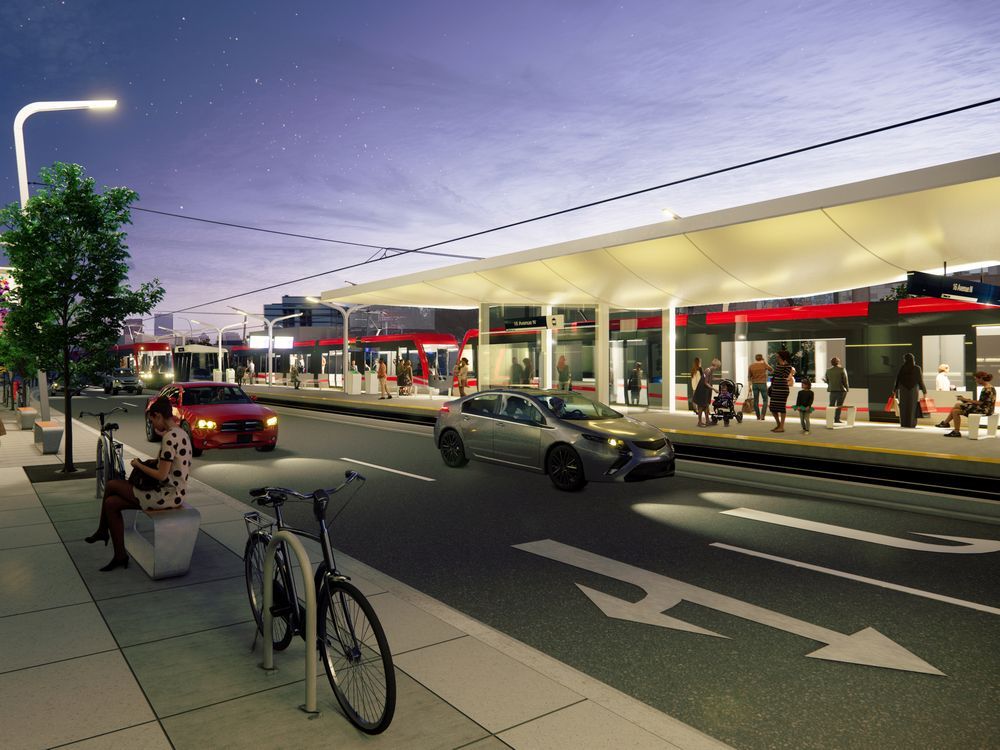
While not surprising due to COVID-19, it is still yet another delay in this project's schedule:

COVID-19 is a good and understandable excuse for delaying a decision on Stage 2 until engagement can be properly completed.

However, I call BS on the RFP for Stage 1 being released in July. This scope was originally intended for Q4 2018, then Q3 2019, then Q1 2020 ... and there is no change to that portion of the project since 2017. The far more likely explanation (confirmed by the audit reports) is that the owner’s team is a gong show.
 

Back
Top