Green Line LRT | ?m | ?s | Calgary Transit

Best direction for the Green line at this point?

  • Go ahead with the current option of Eau Claire to Lynbrook and phase in extensions.

    Votes: 41 59.4%
  • Re-design the whole system

    Votes: 22 31.9%
  • Cancel it altogether

    Votes: 6 8.7%

  • Total voters
    69
The downtown part is the hardest and the most expensive, the current council (mostly) want to do it right and not have the train at grade in the inner city. I think we need to build this now before some super conservative mayor comes in and cheaps out and we get another train that runs on the street and waits for traffic. Build the right of way for the entire route and do that as BRT until we can get the whole thing built but I think they would have to be crazy to not do this ASAP. If the city can stretch the federal money a few years longer, then do it, Trudeau wouldn't pull that back after the election results, he's about to go into suck up mode lol.

I don’t think BRT from the north would even cost that much. I doubt the northern councillors actually want BRT, it seems like a bad faith demand.

The BRT would still require a right of way be created along the same route, so they would have to buy up all the same property. That's why waiting a few years may not be so bad.
 
A grade level crossing at Macleod Trail? Somebody needs to slap these f*cking idiots.
 
A grade level crossing at Macleod Trail? Somebody needs to slap these f*cking idiots.
That was the plan forever. Eliminating it benefits the suburbs and drivers the most. But then putting money into it created this suburb downtown split. But the decision was made before a lot of councillors were around the table. So putting the decision back before the current people to educate them on why we got to where we were has a benefit.
 
It wasn't the plan "forever" it was one of a few options being considered. That option widely being considered the worst possible option. We need to be looking towards a population of 2 million, which isn't far off. Not acting like a fucking town of 500 000. This city, I tell you... I don't even think I want to stay after I graduate anymore.
 
I was initially a huge supporter of the fully tunneled option but the longer time goes on the more I think surface in the beltline and a bridge over the river wouldn't be such a bad thing. If most people are like me, I think a lot of the support from the tunnel stems from the fact that 'world-class' cities have subways so therefore Green Line needs to be a subway. Also people who use the red/blue lines know how long it can take to crawl through 7th Ave and want to avoid a repeat of that.

In terms of travel times, the city of Calgary studies showed a very small time difference (less than 2 minutes if I recall correctly) between surface and tunnel so I don't think it will have that big of an impact on the ridership experience. Yes sometimes some idiot will hit the train with their car and there will be a higher chance of delays but I don't think it happens often enough to be a deal breaker.

The big thing for me though is that with a subway style system nobody is exposed to the communities they're passing through. You go underground and stay underground until you pop up at the station you were planning on getting off at anyways. For most Calgarians this will be the 7th Ave station. By putting Green Line on the surface (except for the North-South portion under CP and the major downtown arteries) you are exposing 60,000 riders daily to the beltline and Eau Claire areas. People who would otherwise never use those stations or even see the areas if a tunnel was used will see the shops and restaurants and the streetscapes and be tempted on a daily basis to hop off the train and explore. Patrons waiting at these stations in off-peak hours will be out in the open exposed to the community which I think will help improve the perception of safety. (Ever been at City Hall station in the evening with a bunch of unsavoury characters? Now take the same situation and put yourself alone on the platform one story underground).

Calgary hasn't done surface LRT integrated into communities very well in the past but a quick glance at pretty much any European city shows it's possible. If the difference between whether or not we build Green Line Stage 1 comes down to surface LRT versus tunnel not only do I think I can live with it, I think it might actually be an improvement.
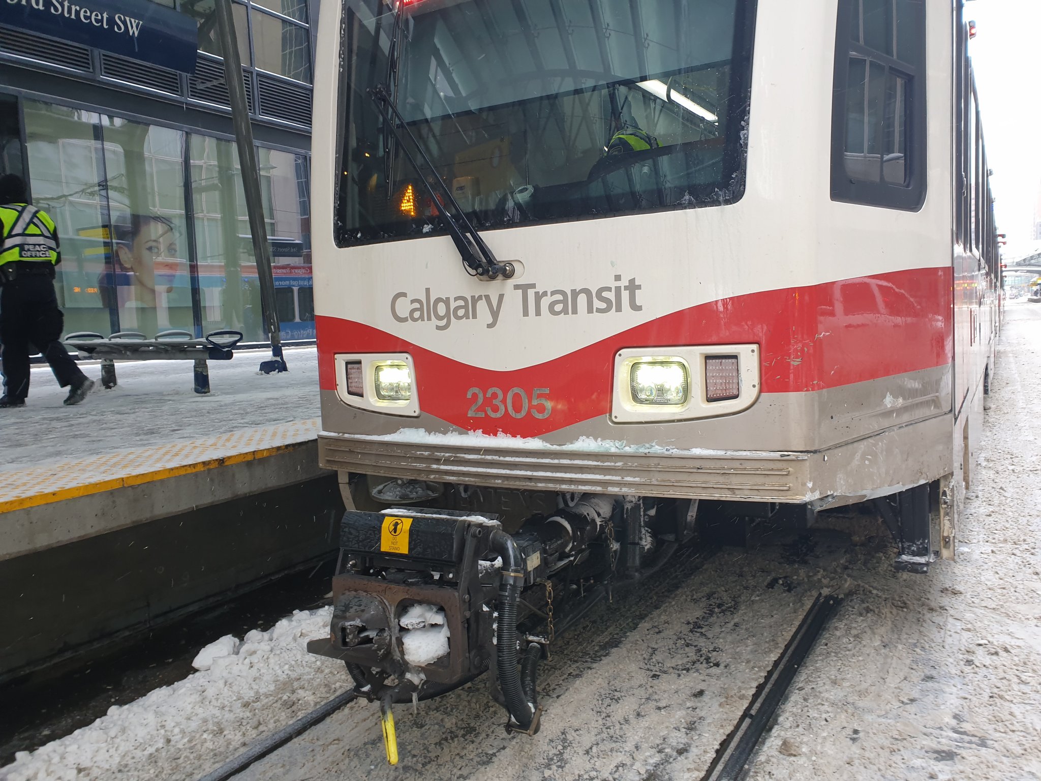
 
Nobody is getting off the train because they are exposed to the community it goes through, this is an option for commuters and we need to look at this as the best way to get the most commuters from the suburbs into the inner city. Having this run at grade will affect traffic times, train times and will have an increased cost due to the instances of people or cars having accidents with the train. Lets also keep in mind that they have to close the train down on almost every long weekend in the summer to do maintenance on the tracks due to the exposure to our weather cycles. Burying the train solves those issues and helps future proof it. If we aren't going to have the train run underground, then elevate it, there will still be maintenance costs but you won't have a train stopped in the intersection for 2 hours because some dipshit ran a red light and got t-boned by the train. Running at grade through the downtown is amateur hour, and this city should be far beyond that.
 
If the geometry works, a surface station in Eau Claire has the potential to save something like $100 million bucks alone, savings that can be plowed into the awful geology between 9th and 6th. I'd like it to be exclusive ROW from there to east of Macleod Trail. This is a 86 M curve, below mainline recommendation, but whatever way above the absolute minimum of 35m, and about the same as the S curve cross 16th Ave in the NW. It would allow 155m for elevation gain between the end of the tracks and 1st Street SW, which at 6% grade is enough for 9.3 m of top of rail elevation changes. Rail height of 5 m below ground (more than the absolute minimum to cross under the tracks) to 4.3 m above. 1st Street SW only has a clearance of 3.8m under the tracks, so still have 50 cm for structure and rail to play with under the top of rail.

215790
215791


This would be my preference for a 'cheap' option. Replace one underground station with at grade (Eau Claire), and one with elevated.
 
Last edited:

The Green Line project team has blown past every deadline that they have set, usually without explanation or rationale. If the preferred alignment is too expensive, they have years of analyses of all the alternative options that were not picked. They've been signaling for a while that the Bow crossing will need to be a bridge to save money -- this was studied for years. They have already looked at more or less every Beltline alignment. How hard is it to pull those binders off the shelf, X out the deep all-underground tunnel, and ask council to pick again?
 
The problem is those years of studies were bound by ‘path dependencies’ - previous decisions that limit your investigation. So if you find new important information you need to go back and look again. Besides the 2006 downtown study there wasnt a huge amount of work on which North north corridor should be used. The more recent ones you had deep versus super deep versus elevated since council had advised before hand to do all possible to not disturb the surface.

these choices cost a lot. By looking at different options where cost control is the overriding effort we can find different solutions.
 
From what I’ve heard from those involved in the project, the entire thing is a complete fiasco. I don’t think the City is capable of executing it in house - they should really just P3 the whole thing.
 
From what I’ve heard from those involved in the project, the entire thing is a complete fiasco. I don’t think the City is capable of executing it in house - they should really just P3 the whole thing.

Regardless of the contracting model, the owner still needs to define the basic scope of work, which they have not been able to do.
 
Regardless of the contracting model, the owner still needs to define the basic scope of work, which they have not been able to do.
Depending on how much control you’re willing to give up, you do not need to have made many decisions. What you need:
  • a rough corridor within 500m, and major destinations decided with required service within a certain distance
  • A targeted ridership (either pax, pax over certain arbitrary lines, or pax miles)
  • A targeted travel time including waiting tine for different times of the day (you can even do without this since ridership is a partial function of travel time f you want even more flexibility)
  • And for some future proofing: a strategy of how the line will handle 3,4, 5 times the ridership in the future
And you need a lot of information:utility maps, willingness to give up road space, land ownership, a boat load of geotechnical.

by using a process called technical dialog, let’s say we wound back 3 years: we contract 3 companies and they start design and their bids. As the process unfolds they all present different solutions to the identified problems. And as the process goes, then the city chooses the best overall solution at the best price for that solution.

I like this - a few questions...

- how do you provide "a boat load of geotechnical" across a 500m wide corridor at all relevant depths? One of the issues that has come out earlier this year is that the chosen alignment had bigger geotechnical challenges than was imagined when the route was selected. If we couldn't figure out the geotechnical risks along one alignment, how would we figure out the geotechnical risks along all possible alignments? I suppose one answer is a smarter technical team, and another is a technical team more willing to speak the truth rather than waffle when they encounter problems. Still seems hard?
- how do you do discovery of community preferences/tradeoffs? Do all 3 design-build groups speak to community groups and affected landowners independently and try to weigh their interests? Or is the city sort of acting as an engagement subcontractor on behalf of the designers to feed this back? I will say, whatever the City is doing on engagement isn't working - they spend years determining that everyone would love a deep tunnel that disturbs no one's local interests, so no hard choices are made until it's clear it costs too much.
 

Back
Top