News   Apr 03, 2020
 4.6K     1 
News   Apr 02, 2020
 6.5K     3 
News   Apr 02, 2020
 3.7K     0 

Calgary Transit

There is no SE BRT anymore. It's just the Green Line.
 
This is the perfect spot to post the @ferreth

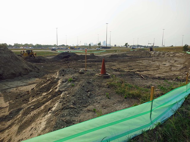
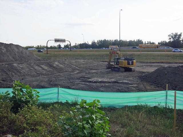
I cycle to work most days in the summer, going under 17th Av SE at the irrigation canal. Starting to see construction of the SE BRT - from my vantage point cycling I'll be able to see the bridges go up over the canal, and Deerfoot. Here is the first construction shots, we will see how I do updating here once in a while...

Looking west, I am pretty much underneath what will be the bridge over the irrigation canal:

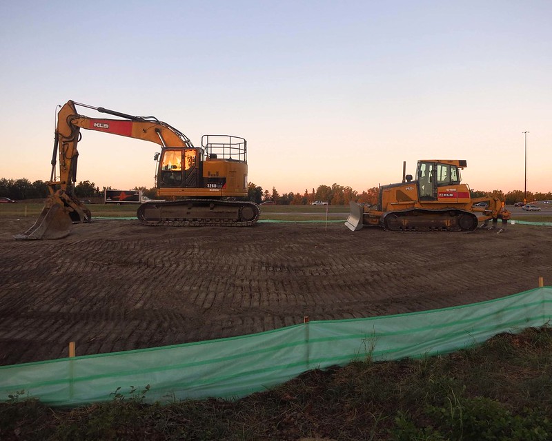
BRT Construction starts IMG_2142
by ferreth, on Flickr

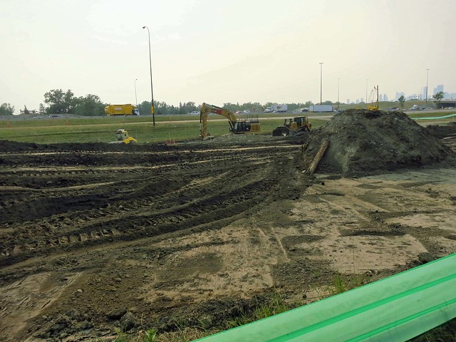
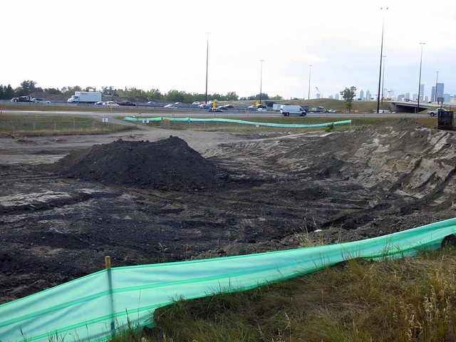
Looking east at the same location - you can see everything surveyed out, but no digging yet:

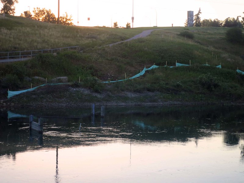
BRT Surveyed out IMG_2143
by ferreth, on Flickr


Let me know if there is a better place to post these - still learning the forum layout here!
 
Ohhhh hahaha! I'm an idiot :p Thanks for clarifying. It's great that's being built! I was wondering what the hell was going on last time I was on International Avenue.
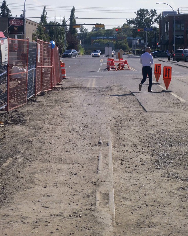
 
The actual report , assuming the link keeps working.

The metrics used focus mostly on efficiency. From that standpoint, it looks like Calgary is doing a good job. The only metric that I see that seems to directly focus on quality of service is service hours per capita, in which we rank at the bottom along with a large group of others. Even so, it doesn't mean much in terms of how good our service is, if you are looking at how easy it is to get from point A to point B at various times.
 
SE BRT construction update - they have dug down a bit further since I took these on Thurday, but nothing yet on the other side of the irrigation canal going up the hill.

Looking NW towards 17th and Deerfoot interchange:

SE BRT Construction IMG_2190

by ferreth, on Flickr

Looking east, the pile is where a sewer pipe is:

SE BRT Construction IMG_2189

by ferreth, on Flickr

Looking south, they are piling dirt here:

SE BRT Construction IMG_2192

by ferreth, on Flickr

Zoom in looking east, you can see the beginning of the berm that will have the bridge going over Deerfoot:

SE BRT Construction IMG_2194

by ferreth, on Flickr

Deerfoot is down to 80km/hr at all times there now, with a barrier fence you can see in that last picture. During construction activity they lower the speed down to 50km/h. Fortunately, for half the day you don't much faster than 50 through there anyways.
 
Updating the digging at the Irrigation canal for the SE BRT:

to the SW:

BRT Construction IMG_2210
by ferreth, on Flickr

to the NW:

BRT Construction IMG_2209
by ferreth, on Flickr

Zoom showing progress on the other side of Deerfoot:

BRT Construction IMG_2207 by ferreth, on Flickr

Nothing much yet other than fencing going up to the east, a sign says they will be closing the path next week:

BRT Construction Cyclist Detour IMG_2213
by ferreth, on Flickr

You'll note the phantom closed bit of path on the west side of the irrigation canal where no other path is drawn - that would be where I am taking these pictures from and if they close this stretch that means my access will be cut off. BUT the City's Pathways/Bikeways app says no such closure there. I'll be 311ing it to see what is up with that as I don't feel like having to navigate a detour unexpectedly in the dark first thing in the morning on the way to work next week on my bike. I'll update when I know more in the cycling thread for that one.
 

Back
Top