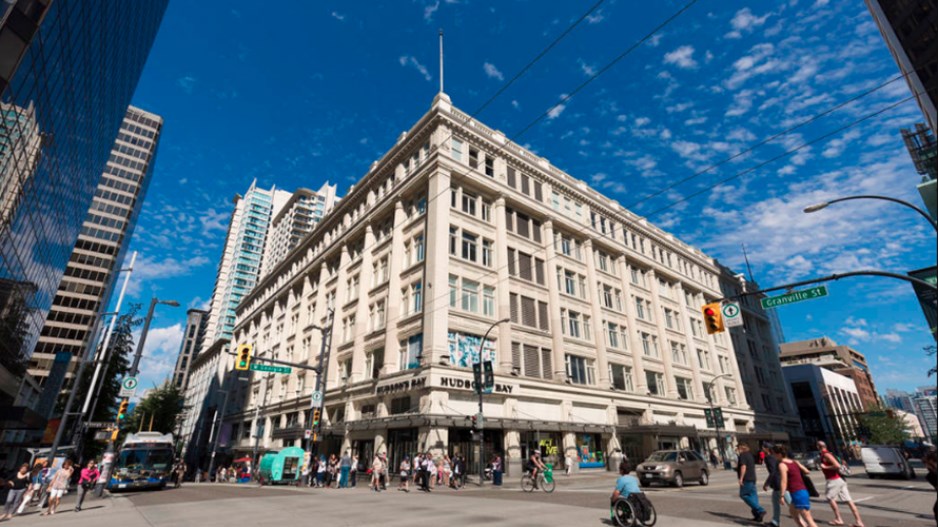
Century-old landmark building could be in line for a comeback

Last edited:
That's great news! If the Minto proposal gets built, that area will have a totally different feel to it.
Question regarding Inglewood. I have heard that Inglewood/Ramsey area was once called Mills Estates. I was wondering what the story was behind it.
Yeah, I believe "Inglewood" is a more recent name, and Ramsay too. This map is from 1946
View attachment 225474
This 1910 directory indicates that "Inglewood" or "Inglewood Subdivision" is just the name of the residential section owned by and adjacent to Colonel Walker's estate (the bird sanctuary today)
View attachment 225475
At one point part of Inglewood was also known as Brewery Flats
Also according to Wikipedia
The area now known as Ramsay was developed in the 1880s by Wesley Fletcher Orr and his partners. It was named Ramsay in 1956 when residents of Burnsland, Brewery Flats, Grandview and Mills Estate consolidated as a new community. It was named for William Thomson Ramsay (1857-1921), an early land agent and property owner.
Interesting, when using the Internet in that area, the location of the IP address comes up as Mills Estate. I didn’t know there were so many micro neighborhoods in that area.
Yeah, I believe "Inglewood" is a more recent name, and Ramsay too. This map is from 1946
View attachment 225474
This 1910 directory indicates that "Inglewood" or "Inglewood Subdivision" is just the name of the residential section owned by and adjacent to Colonel Walker's estate (the bird sanctuary today)
View attachment 225475
At one point part of Inglewood was also known as Brewery Flats
Also according to Wikipedia
The area now known as Ramsay was developed in the 1880s by Wesley Fletcher Orr and his partners. It was named Ramsay in 1956 when residents of Burnsland, Brewery Flats, Grandview and Mills Estate consolidated as a new community. It was named for William Thomson Ramsay (1857-1921), an early land agent and property owner.
So Inglewood and Ramsay were originally many, maybe as many as 6 or 8 tiny communities.
My grandparents always referred to Inglewood as "East Calgary".
I never knew that building on the corner of Marsh Road beside Lukes was a buried heritage building. It has been vacant for a while now so maybe we will see a reno in the near future. It is not very marketable as it stands today.
I never knew that building on the corner of Marsh Road beside Lukes was a buried heritage building. It has been vacant for a while now so maybe we will see a reno in the near future. It is not very marketable as it stands today.
I remember back a decade or two the calgary transit maps still showed the original communities in the area, it's like they were added to some 1940s bus map and kept getting transposed decade after decade.
Well and apparently that is still the case in 2019, interesting how historical place names have been preserved in the most unlikely places.
View attachment 225476

 biv.com


